-
0
- Your cart is currently empty.


About
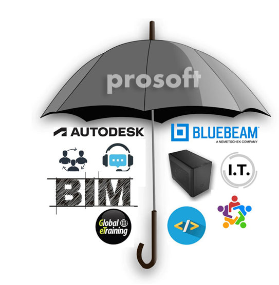
ProSoft
At ProSoft, our solutions are our focus. They represent over 30 years of experience in assisting our customers to reach their goals in planning, building design, engineering and construction. Quality, expertise and attention-to-detail are the hallmarks of ProSoft. Our mission is to provide products, creativity, and expertise to help you reach your goals.


ProSoft
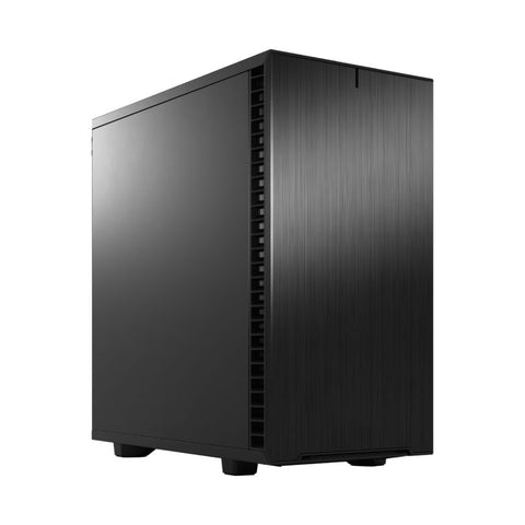
Browse Your Custom Hardware
ProSoft provides innovative solutions to architectural and engineering firms, government agencies, utility companies, manufacturers, and educational institutions involved in Computer-Aided Design using Autodesk software. By taking the time to carefully craft your custom computer with the right hardware and software options, you can optimize your workflow and increase productivity.
Our Products

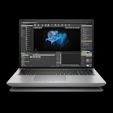
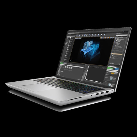
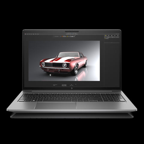
HP ZBook Fury 16 G10 Mobile Workstation

What Our Clients Say
Job Industrial Services has purchased dozens of workstations from ProSoft for over 7 years, and each new generation of machines keeps getting better. Our company designs oil refining and mining facilities, relying heavily on 3D modeling and laser scan point clouds within AutoCad and Navisworks. ProSoft workstations have proven to be very reliable and powerful. I appreciate ProSoft’s responsiveness when placing an order or when I need assistance with one of their workstations.
Ben Rand
Director of IT Job Industrial Services, Inc. Salt Lake City, UtahProSoft has been Naylor Wentworth Lund Architects Autodesk reseller for many years. In our architectural practice, Autodesk products are a major key to our success. ProSoft has provided stellar service including timely updates on new products and services, highly responsive technical support, and prompt and accurate purchase and subscription renewal transactions that assist us in the use of Autodesk products. ProSoft is professional in their communication and are available for consultation at a moment’s notice. The behind-the-scenes support ProSoft provides is dependable, timely and keeps our business supplied with the latest tools and techniques without compromise.“
David Bartholomew
Software Coordinator Naylor Wentworth Lund Architects , Salt Lake City, UtahMethod Studio has been in business since 2007 and our main software asset/investment for daily production and workflow is the Revit suite from Autodesk. Prosoft has been with Method Studio from the beginning and has been a trusted partner all along the way. With our recent growth to over 100 employees we have put Prosoft to the test over the years with software maintenance questions and support and they have been a dependable resource. We have used their hardware services building robust machines at a cost-effective price point and were not disappointed. When you find a great industry partner who knows your business and focuses on the relationship, not just the products, you tend to stick with that partner for the long-haul. Prosoft is that partner for us.
Kelly Morgan
Senior Principal and Founding Partner Method StudioThe Staff at ProSoft have been very helpful to our Survey and Engineering firm. We have relied on ProSoft as our Autodesk reseller, and for Software training and trouble shooting. We have also purchased some of their workstations and laptops. They always have someone that can help, and they are quick and friendly. I have over 20 years of experience in the drafting side of Survey and Civil Engineering and I still find their experience and knowledge very helpful.